
Advanced Drone Solutions for Precision Agriculture
Harness the power of multispectral drone technology for real-time insights into crop health, soil conditions, field damage, and input mapping. Our precision data helps you maximize yield, reduce costs, and make smarter farming decisions.
Crop Health & Growth Analysis
What It Offers:
🌿 Early detection of crop stress (nutrient deficiencies, disease, or drought)
🌱 Monitor seasonal crop growth & yield trends
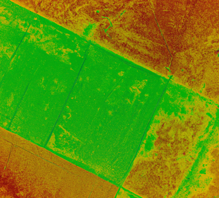
📊 Generate NDVI and multispectral maps for decision-making
How It Works:
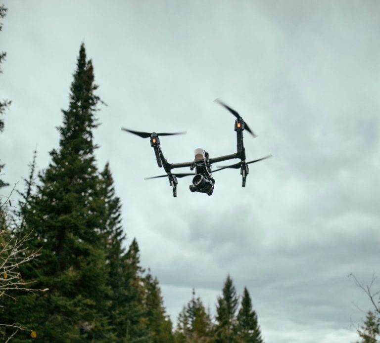
🔹 Our DJI Mavic 3 Multispectral collects 5-band multispectral data, analyzing vegetation health and chlorophyll levels.
🔹 We process the images in Pix4Dfields or DJI Terra, generating NDVI maps that highlight areas of plant stress or poor growth.
🔹 Reports are delivered digitally, helping farmers adjust fertilization, irrigation, or treatments accordingly.
Soil & Irrigation Mapping
What It Offer:
💧 Identify over- and under-watered areas for precise irrigation management
🚜 Detect soil compaction, drainage issues & field variability
📍 Optimize water usage & prevent drought stress
How It Works:
🔹 The Mavic 3 Multispectral captures multispectral and RGB imagery to assess soil moisture distribution and field uniformity.
🔹 Using Pix4Dfields and Agisoft Metashape, we create high-resolution moisture maps, revealing dry spots, runoff issues, and drainage inefficiencies.
🔹 Farmers receive detailed irrigation insights, allowing them to adjust watering schedules and reduce waste.
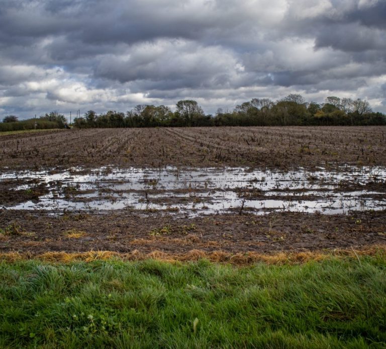
Field Damage & Risk Assessment
What It Offers:
🌪 Assess storm, flood, or frost damage quickly
🦠 Detect pest infestations & weed overgrowth early
🌾 Plan replanting efforts based on accurate field damage maps
How It Works:
🔹 After weather damage, pest outbreaks, or weed infestations, our DJI Mavic 3 Multispectral conducts low-altitude and high-resolution scans over affected fields.
🔹 The captured multispectral imagery is processed in Pix4Dfields and WebODM to create damage reports, weed/pest heatmaps, and replanting recommendations.
🔹 Farmers receive GIS-integrated data & PDF reports, helping them plan recovery and optimize field treatments.
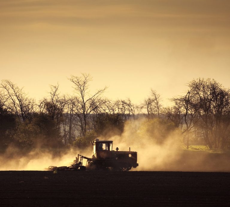
Precision Input Mapping
What It Offers:
🌾 Generate targeted fertilizer & pesticide prescription maps
💰 Reduce input costs by applying treatments only where needed
📊 Optimize field productivity through variable-rate application maps
How It Works:
🔹 The Mavic 3 Multispectral collects high-accuracy NDVI and multispectral images, detecting crop nutrient deficiencies and pest zones.
🔹 We use DJI Terra and Pix4Dfields to create precision agriculture maps for variable-rate spraying and fertilization.
🔹 Farmers receive detailed application zones, which can be uploaded to farm machinery for GPS-guided treatment.
©Copyright. All rights reserved.
We need your consent to load the translations
We use a third-party service to translate the website content that may collect data about your activity. Please review the details in the privacy policy and accept the service to view the translations.